
25/05/2016
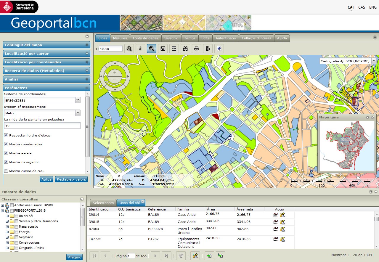
Now you can access the beta version of Barcelona City Council's new Geoportal, which has been totally revamped technologically, as well as in terms of its functions and interface.
Compatibility issues between the previous version of the portal and modern browsers have now been resolved. This new version also offers a much more interoperable tool and includes analysis capacity, making it more similar to the concept of a web GIS tool.
The fact that users can include many more data sources and formats enables interoperation with external cartography to combine more information. Some of the new data sources are the following: Bing Maps, Google Maps, GeoRSS, Open Location Services, WFS, WFS-G, WMTS tessellation services, etc. The service has greatly improved interoperability aspects and support for standards.
Spatial analysis functions have been incorporated which enable operations to be carried out between geographical objects available on the legend, as well as between those objects and geographical objects from external sources. This enables the obtention of elements that are added to the legend and are the result of spatial operations such as areas of influence, proximity analysis, sets of elements that fulfil certain quantitative values of attributes (e.g. view blocks with a specific number of business premises, population studies etc.).
In order to integrate its own information and information about the rest of the metropolitan area and adjacent municipalities in continuous view mode, it also includes a geolocation engine capable of checking addresses outside Barcelona by accessing the official external service.
The legend that shows the geographical objects available for viewing has been organised according to the INSPIRE topics classification, in order to standardise access to the information. Users can select different work profiles or, what amounts to the same thing, different pre-defined legends: topographic profile, urban profile or INSPIRE profile (by default).
The application also allows users to create their own work spaces: views that include its own geographical objects, external objects or those which are the result of analysis, allowing them to be shared from a URL which recognises them. Maps created using this feature can be viewed using a mobile device or a URL with a collaborative GIS tool.
These are some of the new features of the Geoportal. We encourage you to access the Geoportal and discover what it can do and hope you will get the most out of it.
26/01/2015
Geoportal BCN and CartoBCN have published an update of the points of the Municipal Topographic Network, which includes the installed and re-measured vertices and the corresponding coordinates in accordance with the ETRS89 reference system.
10/12/2012
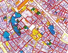
We present to you the Barcelona archaeology layer on Geoportal, a unified set of information where you will find all the documentation on our city's archaeological heritage. The aim is to create a tool geared towards the analysis, diagnosis and evaluation of the city's subsoil stratigraphic deposits and built heritage, closely linked to Barcelona City Council's urban development management and all other layers of cartographic information.This initiative forms part of the Carta Arqueològica de Barcelona [Barcelona Archaeological Charter] project. The information given comprises an inventory of archaeological interventions, Civil War shelters and other elements of the city's archaeological heritage.The chronological framework of the remains documented in the charter takes us from prehistory to the Spanish Civil War (1936-39).
03/11/2010
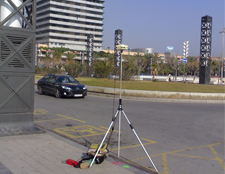
Information on the Barcelona Municipal Topographic Network is now available on the Geoportal. This is a network of reference points covering the whole of the Barcelona municipality and it is based on the Utilitarian Network provided by the Cartographic Institute of Catalonia.
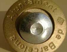
This network serves as a basis for topographic studies carried out in the Barcelona municipality. The City Council is responsible for producing it, moderating it and maintaining it for both its own and public use. The points are marked on the ground with geopoint bolts and washers bearing the name of Barcelona City Council.
The network currently consists of about nine hundred points spread across the city. You can download a file with the data for each point: UTM coordinates, height above sea level, location, site plan, photographs, etc.
You can access the specifications list (PDF) at any of the network's sites, by clicking on the symbol shown on the map. This interactive function is only available where your Internet Explorer browser has the Adobe SVG Viewer (plug-in) connector loaded. You can click here to download it.
04/02/2011
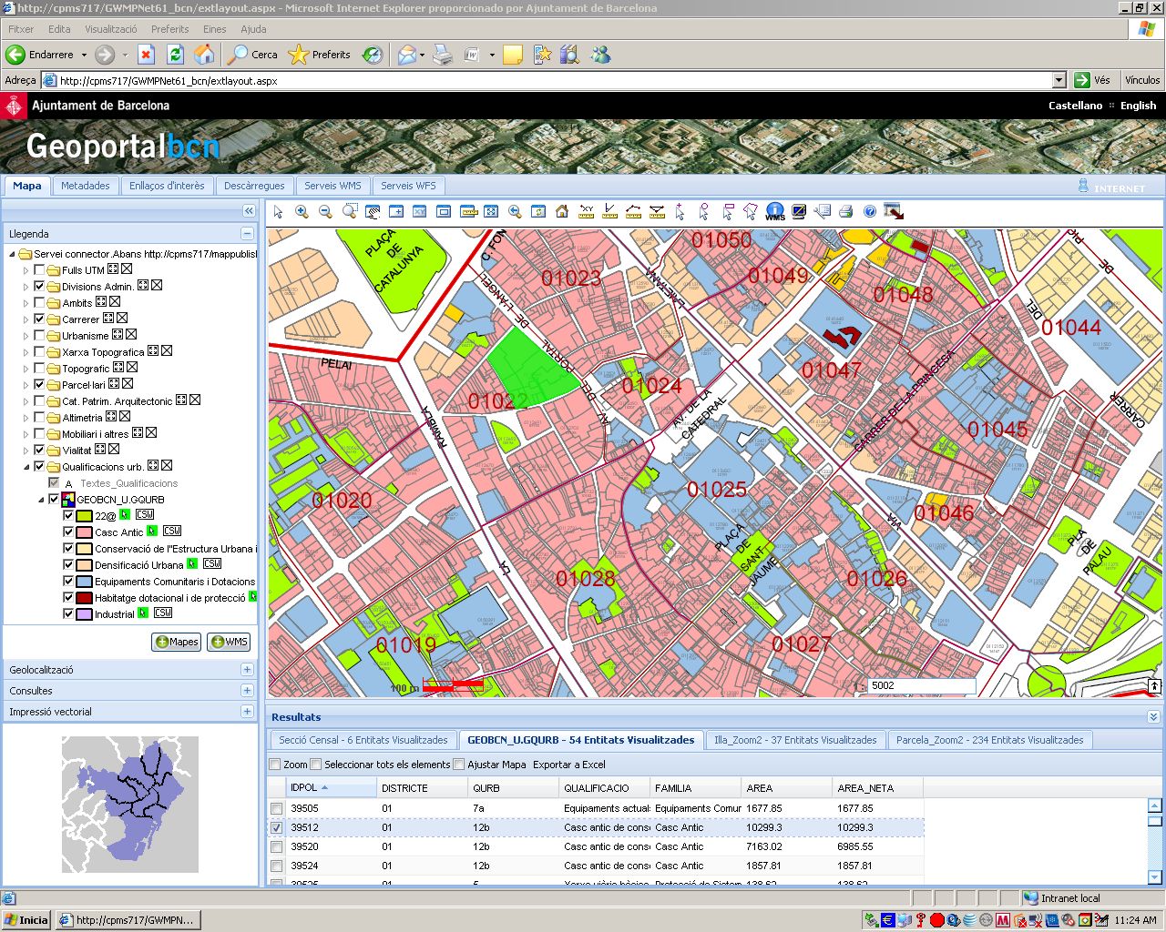
The new version of the map viewer has now been launched. This is the main tool for discovering the city’s cartographic layers.
The various tools the visual display uses have also been reorganised. Both the visual display’s own layers and those of other map servers (WMS) have been grouped under a single legend. This means a location can be accessed by address, search and impression tools within the same space.
A notable new function means it is possible to produce a vector impression to actual layer scale directly in a PDF file, while keeping a raster impression as an option.
As regards the visual display, this new version offers better vector screen quality directly in Firefox, without the need for any plug-ins.
In terms of information-retrieval tools, a new, much more accessible interface has been designed for access to the alphanumerical attributes of map components. A component search tool has also been included, based on pre-defined alphanumerical searches.
Similarly, the KML format has been added to the list of vector formats the map that users see can be exported to.
Interoperability has also been improved, as has support for standards, with the addition of support for retrieving WMS 1.1 and 1.3 maps. There are also more options for finding out information using CSW 2.0.2 standard metadata catalogue services.
To make the portal easier to use while adding new functions, version 2 has incorporated substantial changes into its interface, including new ways for representing and retrieving map information, maintaining it as the gateway to Barcelona City Council’s Spatial Data Infrastructure.